(File Photo)
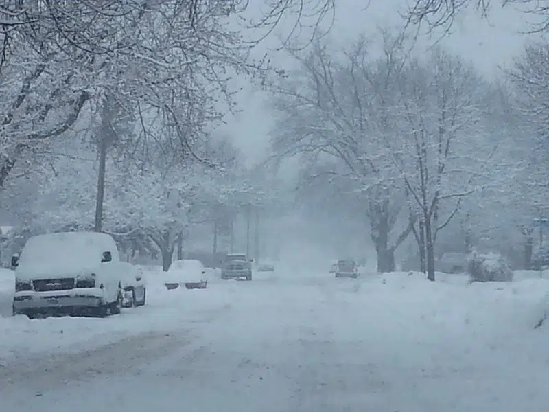
OUTAGAMIE COUNTY, WI (WTAQ) — For the first time in a long time; northeast Wisconsin will see significant snowfall.
Snow will begin before sunrise on Tuesday and will be steady all day, with the heaviest snowfall likely coming Tuesday afternoon. Total snowfall will be 5-8 inches for most areas.
“This is expected to be a heavy, wet snow so that means much more slush as opposed to blowing snow,” said Dan Kane, Brown County Emergency Management Director. “But visibilities will still be fairly low as the day goes on, so drivers should be prepared for that.”
Officials say a good safety measure is to check weather and road reports before you leave the house, allow extra travel time on the roads, have a full tank of gas in your car, and keep an emergency kit in your car.
“That can include extra blankets, mittens, hats, winter boots,” said Paula Van De Leygraaf Outagamie county Emergency Management Director. “Some people will put sand or kitty litter in their car in case they end up in an icy area where they can’t get any traction.”
It’s also recommended to keep a cell phone and a charger in your car, and to let somebody know where you’re going.
If you end up in a situation where your car travels off the road, officials say it’s best to stay in your vehicle, especially if you’re in the middle of the storm.


Comments