BROWN COUNTY, WI (WTAQ-WLUK) – The federal government has taken thousands of structures out of the 100-year floodplain in Brown County.
The Federal Emergency Management Agency’s, or FEMA’s, new maps took effect last week, but this might be the first time residents are hearing about being removed from the floodplain.
Some residents told FOX 11 they learned about this on their own, and wish there was better notification as these changes could potentially save people hundreds of dollars.
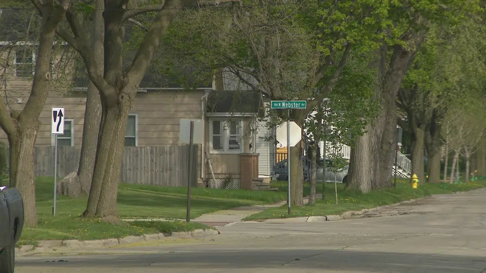
Sarah Vaughan says it was a costly change in 2009 when her Green Bay property, more than a mile south of the bay and a few blocks north of the East River, was added to the 100-year floodplain.
“It’s $1,200 a year for flood insurance,” said Vaughan.
Federal law requires properties with loans from government-backed lenders to have flood insurance.
“2009 a lot of people lost their homes because of this,” said Vaughan. “We were just coming off a housing crisis in 2008, so when this happened in 2009, people couldn’t afford these homes in these lower demographics and now we’re finally coming out of it.”
Vaughan learned on her own, while trying to update insurance, that her property was being taken out of the floodplain. Hers is one of more than a thousand in just the city of Green Bay, according to city zoning administrator Jon LeRoy.
“While I think it’s good news that there isn’t necessarily this requirement for many people, we still want them to go ahead and consider ways to go ahead and flood proof their house and consider flood insurance here in the future,” said LeRoy.
The city of Green Bay is in the process of notifying property owners whose status changed with these new maps. The city hopes to have mailings go out within the next month.
“FEMA has provided numbers that about 25% of the claims that come from folks happen outside of the special flood hazard area throughout the country,” said LeRoy.
FEMA declined to provide someone for an interview, but sent us a statement:
“Previous Brown County flood maps used older modeling methods. With these new updated flood maps, Brown County saw changes because a newer statistical model captured storm and wave action more accurately. More specifically, measured data from tide gauges was used for model calibration and reflects updated (and more highly resolved) bathymetric and topographic data. The nearshore modeling also took into consideration erosion as well as structures emplaced to protect shorelines from wave action. New models, in addition to new and more data, led to these changes on the Brown County flood map.”
FEMA says updates to flood maps “are a collaboration between communities and FEMA.”
“Maps can change for many reasons,” said Matt Heyroth, zoning administrator for Brown County. “This particular reason, I believe it was just there was a better methodology that FEMA had.”
Brown County zoning officials plotted the structures along the bayshore and in Green Bay’s Old North neighborhood to show how significant of a change FEMA made. They say 4,376 structures were removed from the floodplain in those areas.
“There is still risk, no doubt about it, but it’s just the risks are being identified as a little bit lower,” said Heyroth.
While zoning officials encourage people to still carry flood insurance, they say it is worth checking on lower rates for those who are now deemed lower risk.
- View updated FEMA floodplain maps
- Use Brown County GIS map to see if your property is in the floodplain


Comments