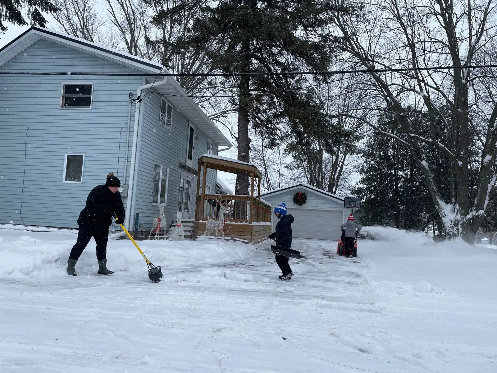
A family shovels snow in Waupaca County. PC: Fox 11 Online
WISCONSIN (WTAQ-WLUK) — Northeast Wisconsin received lots of snow and wind just before Christmas. There’s a Winter Storm Warning in effect for most of the state.
On Thursday morning, many residents were out shoveling and snow blowing before their morning commute; and most said the snow was light and didn’t cause too many problems.
Lisa Berna is a UPS driver, and she’s ready for whatever mother nature brings.
“It’s always scary driving around the snow, but I’ve been doing this for 16 years so I’m kind of used to it.” said Berna.
The snow will begin to pick up as Thursday afternoon wears on. Temperatures fall throughout the day as winds turn to the northwest.
If you’re heading out on the roads, be sure to check 511’s winter road conditions map.
Some schools and businesses have closed for Friday.
Some arrivals and departures at Green Bay Austin Straubel Airport and Appleton Airport have been canceled. If you’re flying, be sure to check with your airline to see if your flight is on time.
Thursday night conditions worsen as winds strengthen. Blowing and drifting snow will be a major problem by the time morning arrives. Temperatures drop to around 10 degrees, and winds will be gusting to near 40 miles per hour by morning.
Friday sees the worst conditions presented by the storm. Wind gusts exceeding 40 miles per hour will create very dangerous driving conditions due to low visibility and drifting snow. Temperatures hover in the mid teens.
Winds remain very strong Friday night, though the snow should taper off for most. The low drops into the low single digits; wind chills to -15.
Then on Saturday, Christmas Eve, the storm move out. It will be mostly cloudy, blustery, and cold with a high only around 10 degrees.


Comments