(File Photo)
NE WISCONSIN (WTAQ-WLUK) — Our third major winter storm of the season is here.
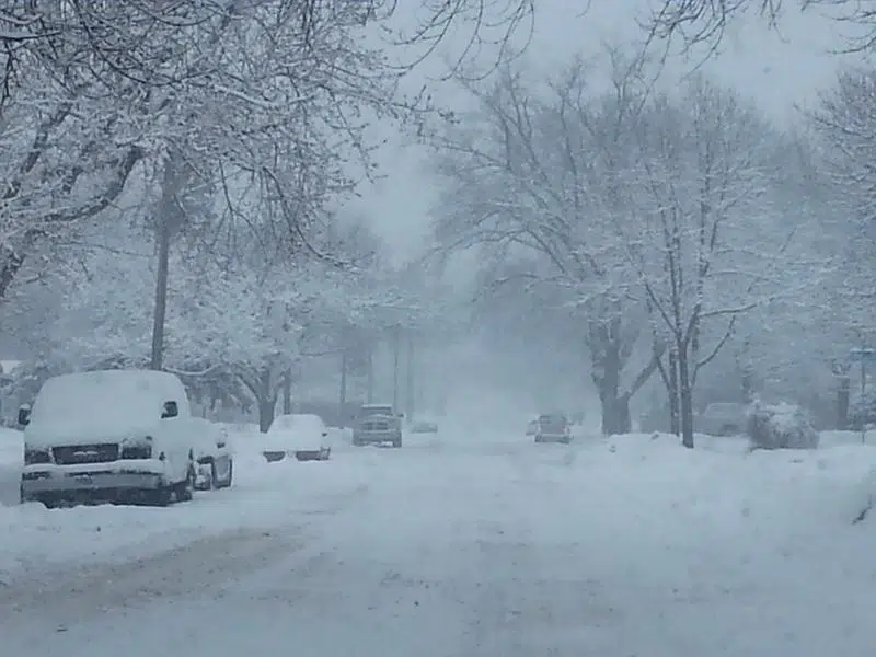
The more intense portion of the storm rolled in Tuesday afternoon with snow and very strong winds Tuesday and Wednesday, potentially gusting as high as 50 mph. Once this storm moves out, we will have more sunshine and warming temperatures as we move into the weekend.
The worst of the storm cranks up on Tuesday afternoon and overnight into Wednesday.
By noon, the precipitation likely changes to all snow and the snow will be heavy at times Tuesday afternoon and into Tuesday night.
Winds also begin to whip, with northerly winds gusting to 40 to 50 miles per hour Tuesday night and into Wednesday.
Travel will likely be extremely difficult during this time, so those with travel plans from Tuesday evening and through Wednesday should monitor this storm closely.
The snow showers continue into Wednesday before wrapping up Wednesday evening.
This snow will likely be a very wet, heavy snow, especially at first. Most of the area should pick up 6 to 12 inches of snow by Wednesday afternoon.


Comments