GREEN BAY, WI (WTAQ) – The snow has already begun to fall across much of the area, but it’s going to get a lot heavier as we head into the weekend.
The heaviest snow is expected to begin around five or six o’clock Friday afternoon, and continue into Saturday morning.
“Temperatures are really close to the freezing level, and actually they’re going to start off a little cooler, then kind of warm up a couple degrees. Because of that, we’re looking at some mixed precipitation possible Friday night as well,” said National Weather Service Meteorologist, Kira Jesse. “Could be seeing some rain or freezing rain in the mix as well, which [for] snowfall totals, would bring them down. But it also would become more of a hazard on the road with some freezing rain or freezing drizzle.”
Just north into Shawano and Oconto counties, it’ll be mostly snow falling. Jesse expects to see anywhere from 8-10 inches in those areas, with up to a foot piling up in a few spots.
“Green Bay is kind of looking at the 3-6 inch range right now. Again, that’s kind of tricky because of that mixed precipitation potential. So it’s going to all depend on exactly when reach we transition and then transition back,” Jesse said. “We’re looking at some of that heavier, wet snow. If you go further towards northern Wisconsin, it may not be quite as wet and sticky but it’s still going to be close though. It certainly isn’t going to be the light stuff.”
With the snow expected to be the heavier, wetter type – Jesse says to consider shoveling your driveway in two parts if you can, instead of waiting until the very end.
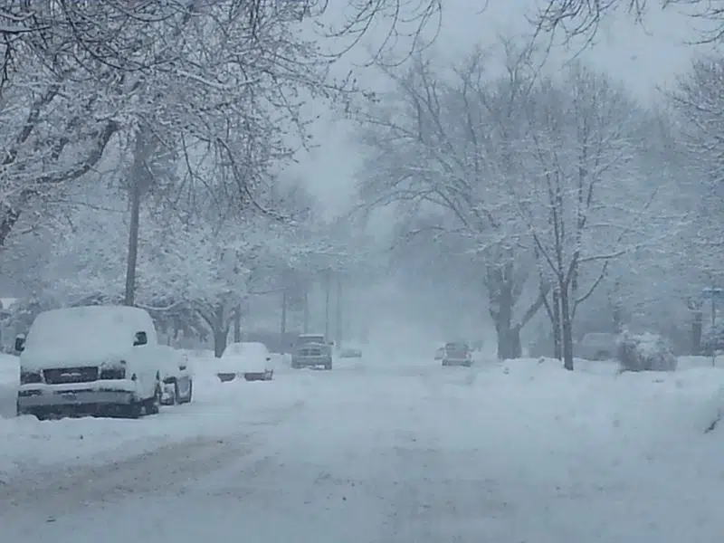
“Definitely going to be heavy at times, reducing visibility, and certainly not easy to shovel away,” Jesse said. “We’re either going to see some warnings or advisories for parts of the area. So use caution while traveling. These headlines are out for a reason. If you can avoid traveling during those heaviest periods, you should do so.”
Friday morning and afternoon, and even into Saturday could see winds picking up as well. They could be hitting 30-35 miles per hour with gusts even higher.
“As we head towards Saturday morning, we’ll probably see a transition back to snow. But the winds will start to pick up, so we’re looking at blowing snow and possibly some drifting snow,” Jesse told WTAQ News. “That can continue to make for hazardous travel and maybe some low visibility throughout the rest of the day on Saturday.”
If you do plan on driving this weekend, check road conditions before heading out. You can see the live maps at 511WI.gov.


Comments